Explore the Cities
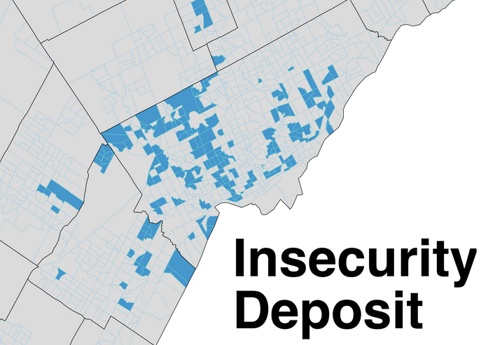
Explore the Ten Cities through the interactive map below. An expandable legend is available in the top-left corner of the map, and socio-economic data is available for each neighbourhood.
Often we study our cities through a single lens, from average income to housing type. The reality is that our cities are structured and divided in complex and layered ways. Now, more than ever, we are realizing that our cities feature deep intersecting patterns of inequity that transcend the domains of income, race, health, labour, education, household structure, and housing tenure, among many others.
This research aims to help understand our cities through multiple perspectives. It clearly maps the similarities shared between certain neighbourhoods and the differences that divide others. The hope is that this data can help drive conversations and ideas around a more just, equal and inclusive urban landscape.
City Profiles
The Urban Cities
A mix of neighbourhoods sharing more urban characteristics, both in Toronto and throughout the GTA. City types range from dense apartment clusters to mature mixed suburbs to parts of the urban core totally remade into new condominium buildings.


The Suburban Cities
Communities almost entirely outside of Toronto's boundaries. Includes successive waves of suburbanization and the rural areas and towns, many of which are developing their own suburban rings.

Cities of Wealth
A collection of communities sharing very high levels of wealth and homeownership. Split into two groups, established long-term wealthy neighbourhoods and more recently gentrified parts of the urban core.


